1.8 Localized effects
1.8.1 Sea breezes
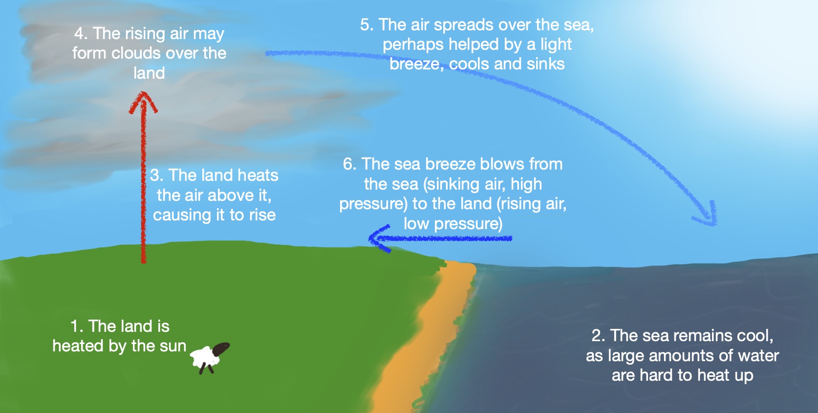
Sea breezes can develop on sunny days with light winds, especially in Spring and earlier Summer. Being a large body of water, the sea’s temperature doesn’t change much during the day. However, the land will heat up substantially and warm the air above it. This causes air over the the land to rise, often forming cumulus clouds.
Air from the sea moves towards the land due to the reduced pressure created by the rising air. Ultimately, this sets up a circulation with air moving from sea to land, being warmed, rising, cooling and spreading back over the sea.

The sea breeze can create a strong onshore wind in the afternoon on warm days.
A related set of effects lead to winds being in general stronger during the day and especially the afternoon than they are during the night and morning, even when sea breezes don’t occur.
1.8.2 Anabatic and katabatibc winds
In hilly areas, heating of mountain slopes can lead to localised rising air, in a manner similar to a sea breeze. This effect can replicate or increase the sea breeze effect.
In evenings or overnight, mountain slopes can cool faster than the surrounding low lying land and any nearby sea. The air above these slopes cools and becomes denser. Gravity pulls this cool air down the slope, creating a katabatibc wind. In some areas of the world, especially around ice sheets, these winds can be sudden and violent.
1.8.3 Fog
Two types of fog can form over the sea:
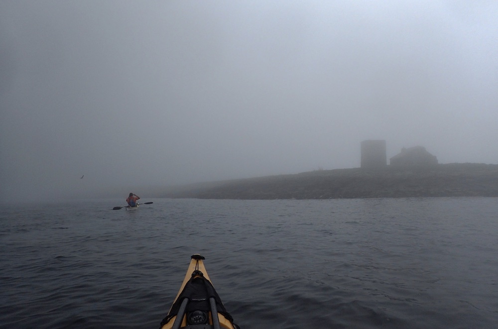
- Advection fog is caused by moist air moving over cold water. It is most common in Spring and early Summer. It forms in light winds - anything more than 15 knots tends to lift the fog from the surface. It can come in suddenly and persist for long periods
- Radiation fog is caused by the land cooling during the night. Although it is formed over land, it can drift over the sea. This fog is more common in Autumn and Winter, although it can form on colder mornings at other times of year. Once over the sea, it tends to disperse.

