2.8 Tidal stream atlases
The UKHO publishes a series of tidal stream atlases that cover the UK. Atlases for smaller areas are sometimes found on nautical charts. Atlases can be found from other sources (e.g. in Reeds Almanac), but these are normally from UKHO data. Exceptions include a couple of standalone books published by local yachtsman covering specific areas of popular coastline and going into great local detail. Excellent flow atlases are also found in some pilot books.
Visit My Harbour is a great source, providing all the main UKHO tidal stream atlases for free.
A tidal stream atlas is a series of maps that show tidal flows at different times in a tidal cycle:
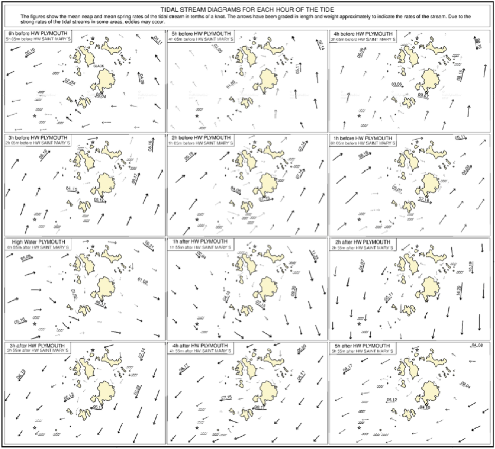
The thickness of arrows on an atlas gives an approximate indication of tidal speed. When numbers are shown, they are in tenths of a knot, with a comma separating flow speeds for springs and neaps.
Tidal stream atlases can be of limited use for inshore kayaking, although there are many areas where they are very useful – especially around island archipelagos like the Scillies, Orkney and the Channel Islands.
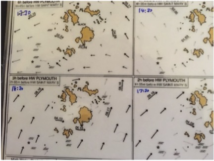
A good way to use an atlas is to mark it up with the timings for the day to get a feel for what the tide is going to do across the area, as shown below: