Kenai River Thermal Imagery
2021-10-28
Chapter 1 Introduction
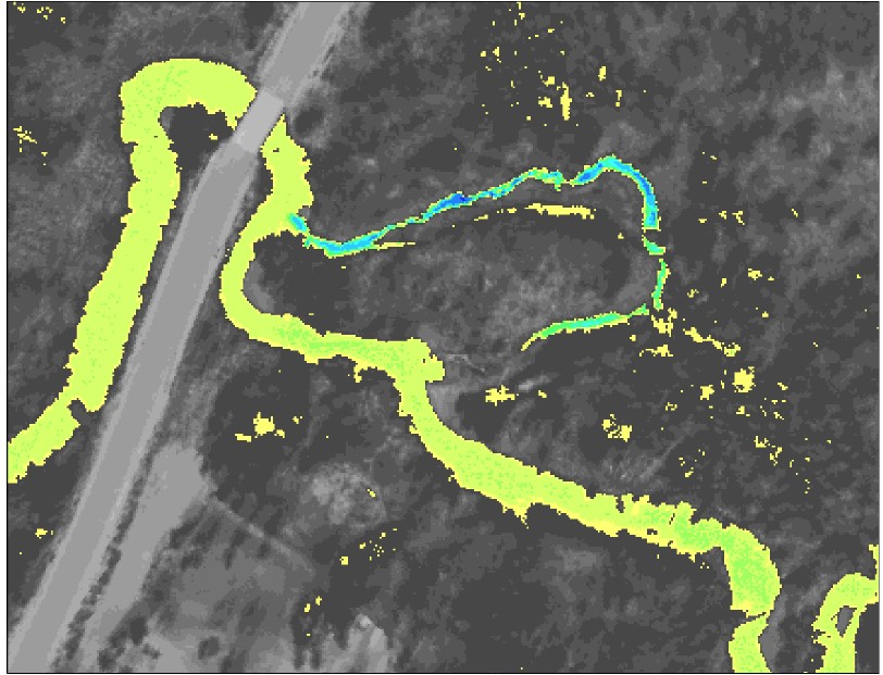
Figure 1.1: Example of airborne thermal infrared imagery showing temperature contrast in a stream near a road crossing
This document contains preliminary data and analysis related to the Kenai River Thermal Imagery project. This work is a collaborative effort between three Kenai Peninsula Nonprofits: Cook Inletkeeper, Kachemak Bay Heritage Land Trust, and Kenai Watershed Forum.
A two-page project summary titled, “Science Based Land Conservation: Cold Water Stepping Stones” is outlined below. A full size version of this information sheet is accessible at this link: Project Summary Sheet Link.
All code used to generate this report is available in the project’s GitHub repository at https://github.com/Kenai-Watershed-Forum/kenai_thermal_imagery.
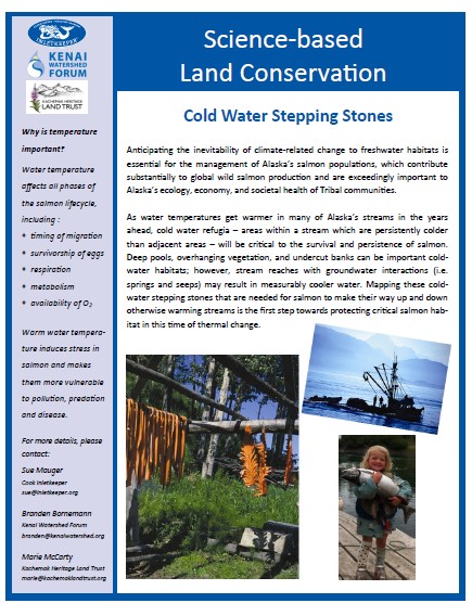
Figure 1.2: Project summary sheet